This page contains maps and aerial photos of Woodhayes and the surrounding area.
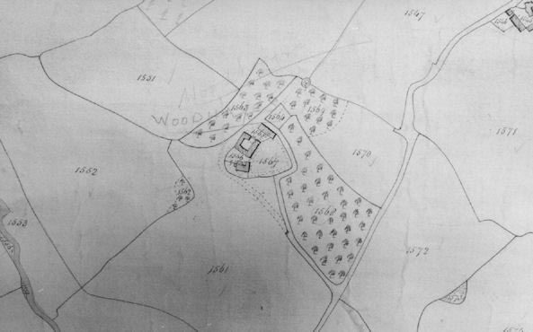
The earliest map dates back to the 18th century and shows Woodhayes surrounded by 16 acres of orchard. These orchards were removed post war, however we hope to replace some or all of the orchards in the coming years.
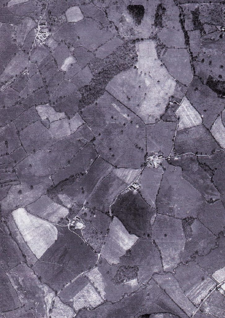
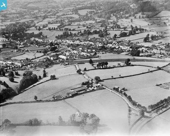
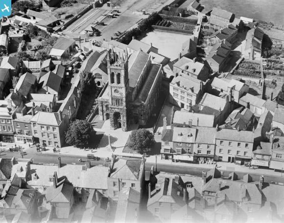
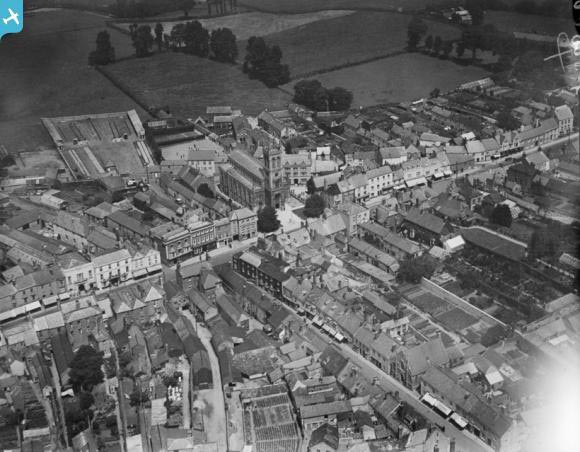
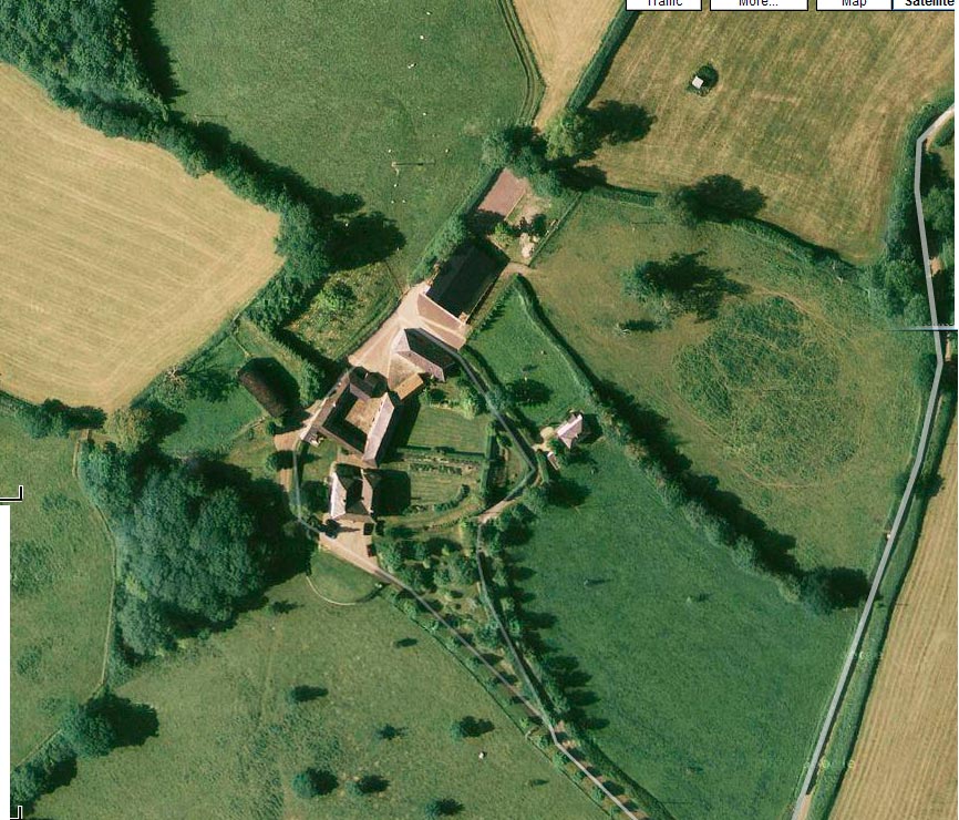
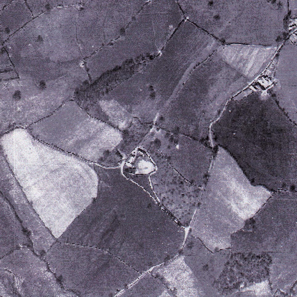
These black and white aerial survey maps were taken in 1947 and show the farm in relation to the surrounding area along with 3 black and white aerial views of Honiton taken from a dirigible in the 1920’s.
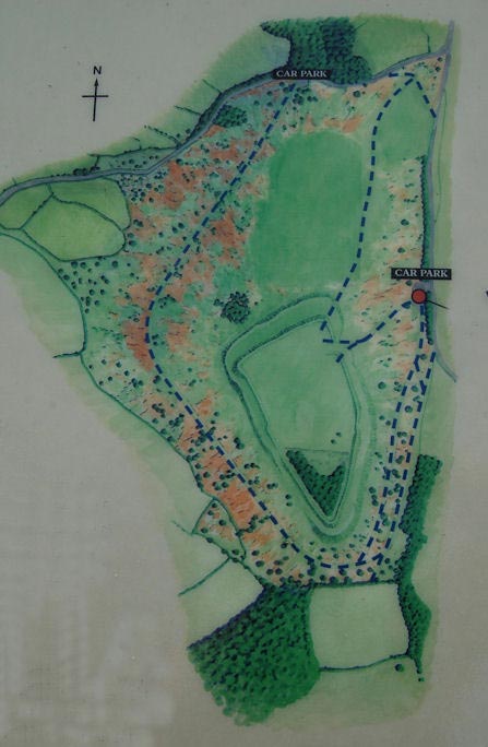
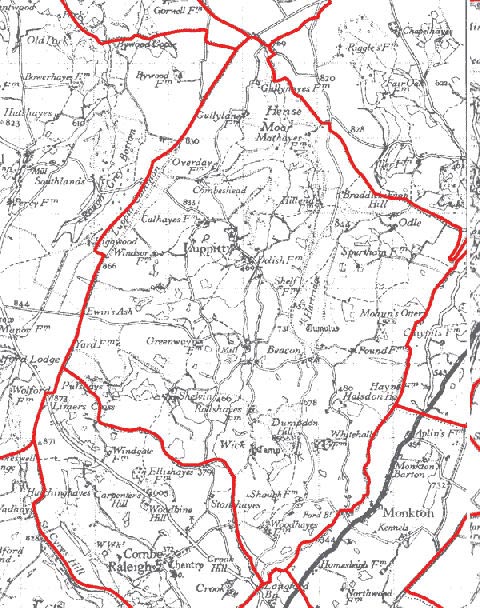
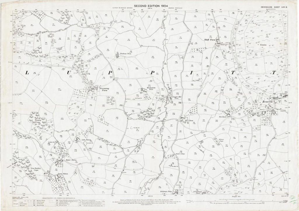
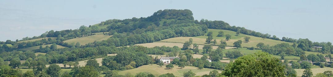
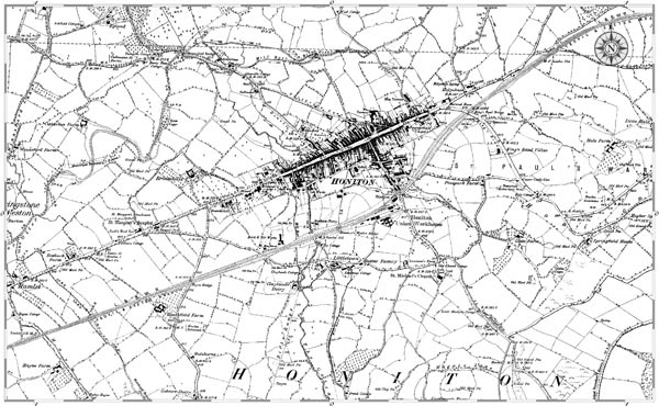
The other maps show the parish of Luppitt in the early 20th century, a map showing Dumpdon Hill Fort and an Ordnance survey map.
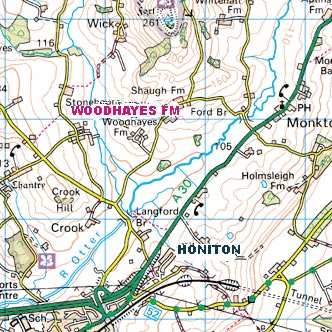
Maps